
Mount Agung (Gunung Agung)
Gallery 4 photos
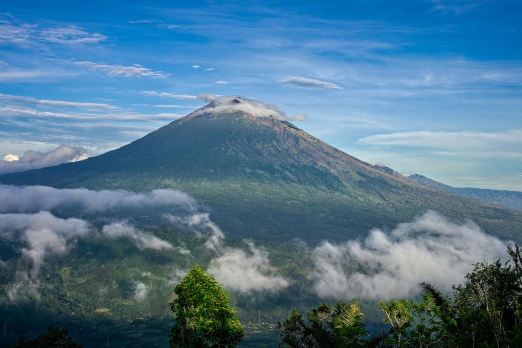
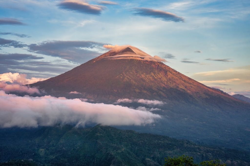
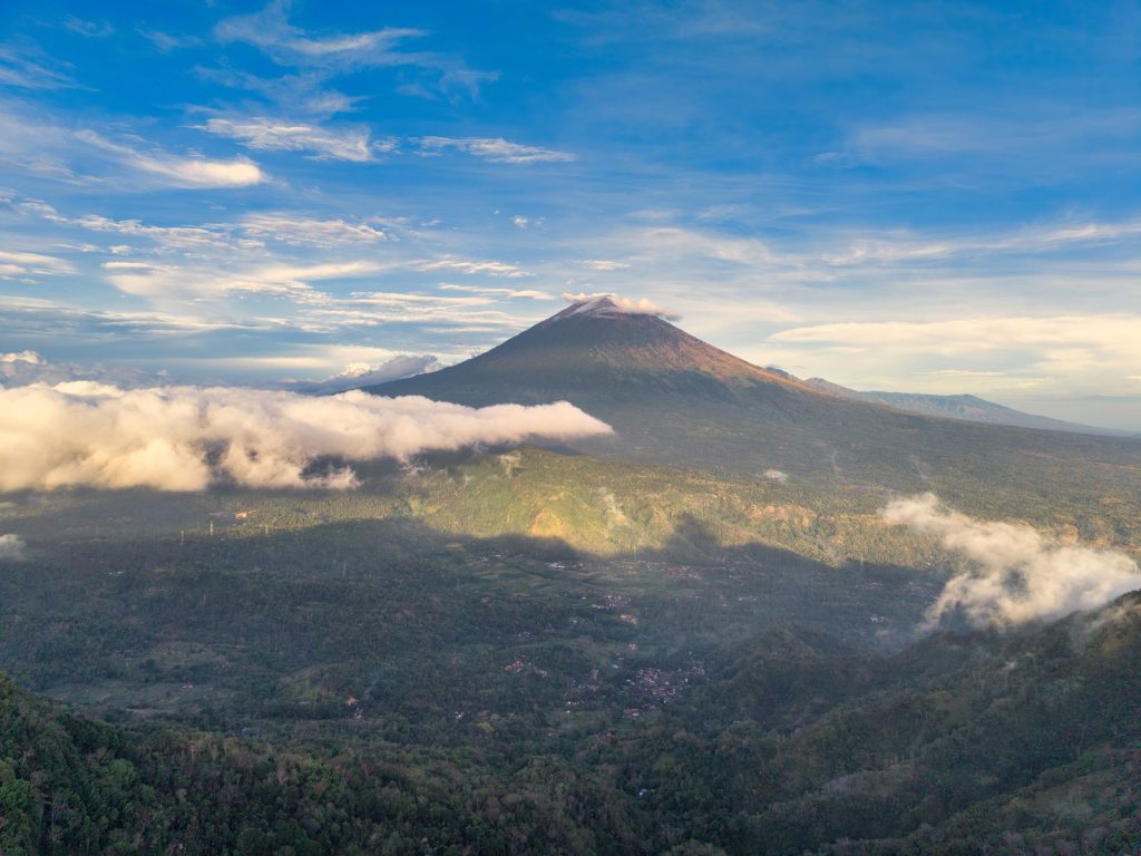
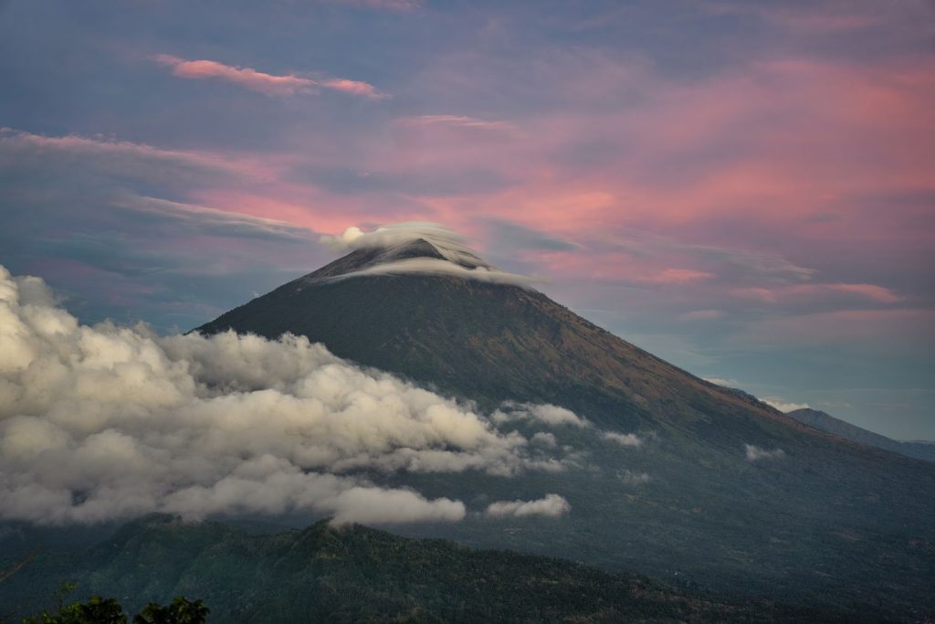
About
Mount Agung dominates East Bali in every sense. At 3,142 m it is the island’s highest peak, a steep stratovolcano whose cone appears on the horizon from beaches, rice fields and temple courtyards across the island. For Balinese Hindus it is the most sacred mountain of all, the spiritual axis around which temples, villages and even sleeping positions are oriented.
Climbing it is a serious undertaking. Treks start in the dark, often around midnight, climbing loose volcanic rock to reach the crater rim or summit for sunrise. On a clear morning the view stretches over Bali’s lakes and coastline to Mount Rinjani on Lombok.
It is not a casual hike: you need fitness, proper gear, a licensed local guide and respect for the ceremonies that regularly close the mountain.
History & meaning
Agung is regarded as the seat of the gods and the guardian of Pura Besakih, Bali’s largest temple complex on its south-western slope. Pura Pasar Agung, high on the southern flank, is both an important temple and the start of the most popular climbing route. Because mountain and temples are treated as one sacred space, major rites at Besakih or Pasar Agung bring temporary closures of all trails.
Agung is also an active volcano. Its eruption in 2017 raised the alert to the highest level and led to evacuations. Since then activity has eased, and in December 2025 Karangasem’s disaster agency confirmed the volcano at Level I (Normal), even when steam plumes caused concern on social media.
How to visit
- A licensed local guide is compulsory for everyone, foreign or Indonesian, under a 2025 Bali government circular; solo climbers have been deported.
- Pasar Agung route: the shortest and most popular, about 3-4 hours up to the southern crater rim and roughly 8 hours return.
- Besakih route: longer and harder, about 6-7 hours up to the true summit and roughly 12 hours return.
- Trails close for major ceremonies, for example 28/03/2026 to 24/04/2026 for Ida Bhatara Turun Kabeh at Besakih; always confirm dates with your guide.
- Climbing is banned in extreme weather; check BMKG forecasts and the PVMBG/MAGMA Indonesia alert level before you go.
- Bring a headlamp, warm and windproof layers, gloves, sturdy boots, water and snacks; summit temperatures are cold.
- Overnight camping on the slopes is not permitted, and time at the crater should be kept short.
Etiquette & dress
- Agung is a holy mountain: follow your guide’s instructions on offerings, temples and behaviour at the top.
- Dress modestly when passing through temples such as Pasar Agung and Besakih; wear a sarong and sash where required.
- Never pass a closed post or ignore prohibition signs during ceremonies; violations can lead to deportation.
- Carry out all rubbish and keep noise to a minimum near shrines.
Combine it with
- Pura Besakih Bali’s mother temple on Agung’s slopes, at the start of the Besakih route.
- Sidemen valley rice terraces and weaving villages for a slow recovery day, about 30-45 minutes south.
- Tirta Gangga royal water garden in Karangasem, about 1 hour east.
Sources
Prices and opening hours checked on 02/11/2026 against the sources below. They can change without notice, so confirm on site before you go.
- Indonesia.travel (Ministry of Tourism): Gunung Agung
- detikBali: Perhatian! Pendaki Gunung Agung Wajib Pakai Pemandu Lokal
- ANTARA Bali: Pendakian Gunung Agung ditutup sementara karena upacara agama
- Bali.live: Mount Agung Trails Close Temporarily for Religious Ceremonies
- The Bali Sun: Top Officials Issue Important Updates As Bali Volcano Starts Emitting Smoke
- The Bali Sun: Bali’s Sacred Mount Agung Closes For Tourist Treks
- The World Travel Guy: Mount Agung Hike In Bali
- Love Bali (Bali Provincial Government): Tourist levy inspection at Bali destinations
Good to Know
- Sunrise from Bali's highest point (3,142 m)
- Views to Mount Rinjani on Lombok on clear days
- Pasar Agung route to the crater rim
- Besakih route to the true summit
- Sacred temples on the mountain's slopes
- Licensed local guides who know the terrain
Know Before You Go
Getting there
Most climbers are collected from their hotel around 23.00 by their guide or tour operator. Allow about 1.5 hours by car from Ubud and about 2 hours from Canggu, Seminyak or Sanur to the trailheads in Karangasem.
Location
More Places to See

A 1,717-metre active volcano inside a vast caldera, climbed before dawn for sunrise over Lake Batur,…
Discover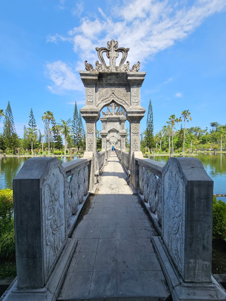
A royal water garden on the Karangasem coast, where white colonial-style pavilions, stone bridges and three…
Discover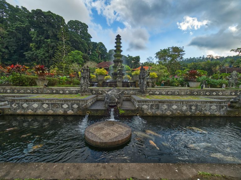
A mid-20th-century royal water garden in East Bali with koi ponds, stepping stones, fountains and statues…
Discover